
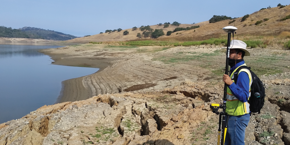
CE&G’s engineering geologists, geotechnical engineers, and technical specialists are well-versed in applying various in-situ and remote sensing geotechnical monitoring systems. Appropriate and pragmatic project instrumentation installation and monitoring programs can provide unforeseen benefits for the project managers, developers, contractors, and the public. The proper installation of instrumentation and efficient monitoring programs will allow the project team to adapt, adjust, and develop proactive measures to reduce the potential for additional project costs and reduce potential risks to public safety. CE&G has always recognized the value of site-specific and project-tailored instrumentation and monitoring programs. As technology and industry standards have evolved, CE&G has remained on the forefront of new technologies and has proactively made efforts to understand and become experts with the every changing and applicable instrumentation and monitoring programs available. Our licensed professional engineers and geologists are able to incorporate a variety of instrumentation and monitoring data sets to provide a detailed characterization of a project site. CE&G monitoring programs range from short-term to lasting for years. Data obtained has provided real-time notifications or alerts to the project team. CE&G has completed instrumentation installations on a variety of projects, including:
- Mass Grading
- Dams and Levees
- Flood Control and Trash Capture Structures
- Landslides
- Excavations
- Existing Structures and Buildings; and
- Stream Channels
Instrumentation and monitoring programs completed by CE&G have included but are not limited to:
- Inclinometer Installation and Data Acquisition
- Vibrating Wire and Standpipe Piezometers
- Direct Push Instrumentation (Vibrating Wire, Flat Plate Dilatometer, etc.)
- Utilization of Data Loggers
- Vibration Monitoring
- Tilt Meters and Extensometers
- Flow Meters
- Utilization of Repeatable UAS and LiDAR Data to Detect Change Conditions
- Floor Level Surveys; and
- Pre and Post Construction Structure Assessments